


A River Runs Through It
“The Pee Dee River, aka the Great Pee Dee in our neck of the woods”
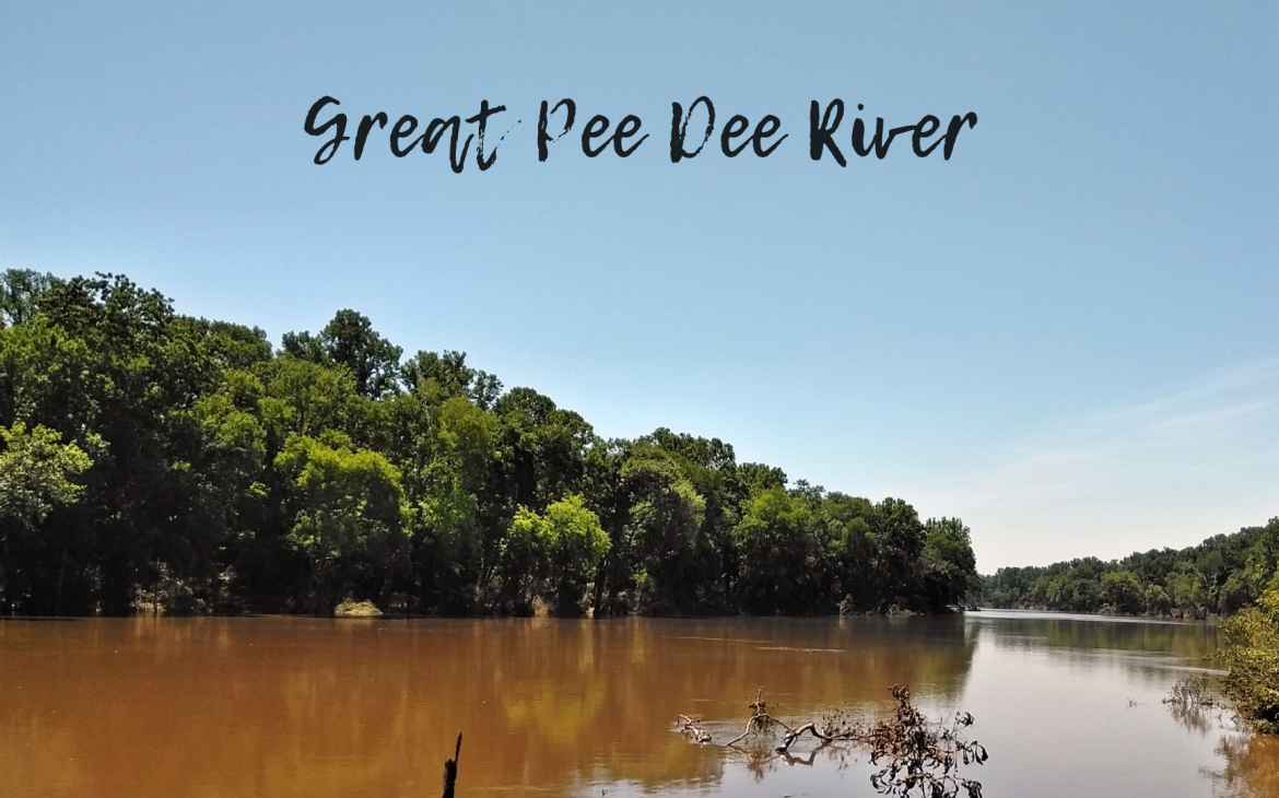
The Pee Dee River, aka the Great Pee Dee in our neck of the woods, is a landmark that has lived and breathed through the core of our county since Europeans first navigated her waters in 1521.
This coastal plain river may be one you’ve been born and raised with, you cross over on your daily commute without another thought, or have fished from with fond memories. Either way, we’re here to immerse you with a little more info and history about this great state tributary.
Named after the Native American Pee Dee tribe, the river is actually the lower part of what’s called the Yadkin River, originating in the Appalachian Mountain foothills of North Carolina. This upper course is heavily dammed – six dams over 60 miles, in fact – for flood control and hydroelectric power, but the Pee Dee is submerged with naturally beautiful scenery that winds along water trails, swamps, coastal forests and marshes, even historical structures. Overall, it’s a mammoth 430-plus miles long, with it becoming the Pee Dee after a course of about 200 miles for another 230 miles, past Cheraw, before emptying as the Little Pee Dee into the Winyah Bay near Georgetown.

In Colonial Times, the Pee Dee was an important trade route through the Lowcountry, where rice was developed and exported from the port of Georgetown. The rice culture evaporated, however, after the Civil War and in wake of two hurricanes at the turn of the 20th century. There’s actually a section of the Pee Dee River, the Planters Historic District, south of Chesterfield County that reveals remnants from 12 rice plantations that once thrived anytime between 1750-1910; you’ll see four plantation houses, two rice barns, plantation outbuildings, a rice mill and chimney, and historic rice fields boasting canals, dikes and trunks. The world’s largest lumber company then took over the river’s mouth at Georgetown in the early 1900s, with the surrounding pines cut and floated in rafts downriver to be sawn and exported worldwide.
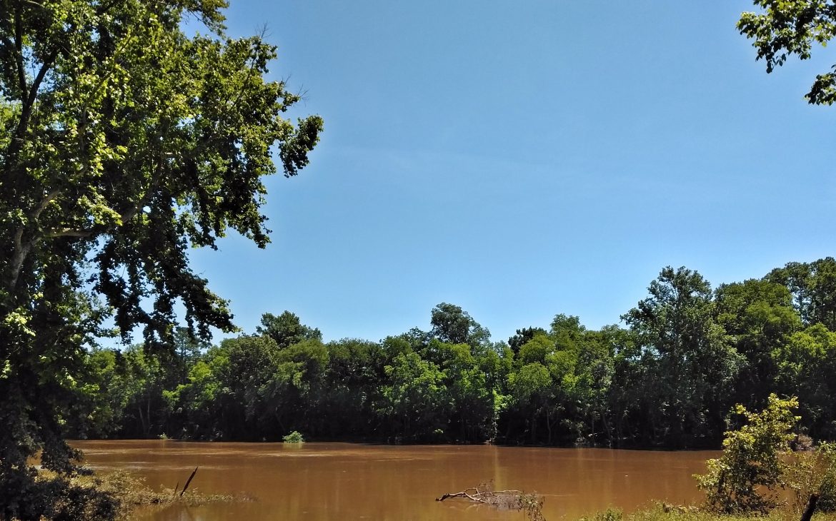
Today, the Pee Dee is enjoyed recreationally, with wild, undeveloped forestland, wetlands and open waters that are primed for resident and migratory fish species, as well as for humans wanting to go boating or fishing. In 2002, the lower 70 miles of the river was designated as a State Scenic River; the Pee Dee and Lynches river intersection is also named as part of the Revolutionary Rivers National Recreation Trail of South Carolina.
Fish & Wildlife
The Pee Dee’s South Carolina section of the river is a vital habitat for resident and migratory fish, including shad, blueback herring, striped bass, eel and sturgeon, that enter the water from the ocean. Along the water’s edge, alligators. On the river’s bottom, endangered and common freshwater mussels. Overhead, herons and swallowtail kites are common sightings – maybe even a glimpse of a bald eagle, as well as black bears through the surrounding forests of tupelo, oaks and gum. In fact, more than 100,000 acres of federally protected land lie adjacent to the river comprising the Uwharrie National Forest, Pee Dee National Wildlife Refuge and Sandhills National Wildlife Refuge.
Boat Launches
These ramps are in the South Carolina section of the Pee Dee River and the closest to Chesterfield County:
- Laney Boat Ramp, Church St., Cheraw
- Society Hill Boat Ramp, North Main St., Society Hill
- Blues (Hunts Bluff) Boat Ramp, Tom Blue Landing Road, Bennettsville
- Lewis D. Kirven Sr. Boat Ramp, Cashua Ferry Road, Darlington
- Plumfield Landing (hand-carry access only), Darlington County
For more information on amenities available along the Pee Dee River, visit www.dnr.sc.gov.


Got a story? Share it with us at https://www.county.cool/whats-your-story/