

Get Connected, Get Outdoors
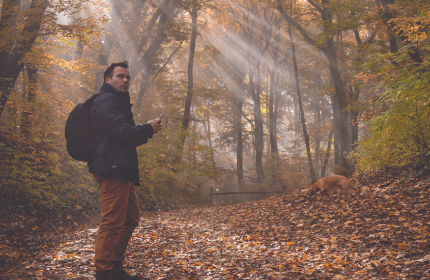
With all the activity taking place on and with land in Chesterfield, Marlboro, and Darlington County, we thought it’d be cool to share some of the technology that’s available to better understand your ground.
There are multiple apps, platforms, and websites you can tap into, but we’re going to focus on those that our friends at Treely have shared.
For farming, one of their faves is Agfuse. COUNTY recently penned an article on this Marlboro County technology, founded by farmer Pat Rogers.
Agfuse’s tagline reads “… a free platform for farmers and agricultural professionals to connect, share information, and form valuable associations.” The app is used by over 5,000 ag professionals and is a “go to” for all things ag. Treely reports that they use the app to ask questions and keep current with ag news and practices.
Another is CIBO. CIBO makes it easy for landowners to clarify the best use scenario of their plot. A neat feature of the app is the ability to view current practices versus best use so owners can understand their plot’s potential for carbon capture and grow crops at peak performance. The platform also allows landowners to list carbon credits for sale, a market to keep an eye on. The Treely folks enjoy the “current tillable acreage” feature.
FieldView, an app popular with farmers, allows you to “get your data in one place.” Map your fields, learn your soil types, store data such as previous crops, tillage system, fertilizers, and more. A cool feature, the rainfall reports.
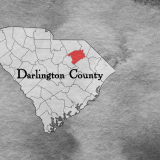
For locations on land, an app that is gaining popularity is what3words. This app puts you “on the money” when it comes to identifying and locating a very specific spot. They’ve given every 3-meter square a three-word label, so, if you out and about and need to be found, via the app, you can share your “three-word” location with ease. An example is the Society Hill side of Hwy 15-401 just before you cross the Great Pee Dee River is ///wards.magnificence.employers

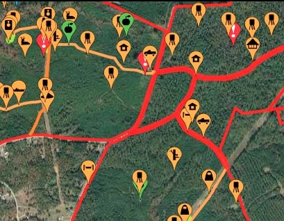
For the sportsman or sportswoman, HuntStand, an app created in South Carolina, lets you locate your hunt/fish spot, build-out sophisticated maps of your game area, create club pages, share your hunt/fish areas, share your harvest information, and use advanced tools to understand your hunt/fish area “like never before”.
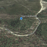
Lastly, is Google.Earth You’ve likely heard of this one, but have you seen their web-based version? Mark distances and areas, change map styles for different views, add pins to points of interest, and view earth in 3D… how cool.
Most are available for use online, and download at Google Play & Apple App Store.
Get online and get outdoors.
By Rodney